Dakhla, New Valley, Egypt · 25.192° N, 29.124° E · 354 km west of the Nile
Sheet revision 1
The reference frame
Drawn from blackfarms.kml · Natural Earth 1:50mas of Rev 1The nearest river is 354 kilometres away.
Dakhla Oasis, in the New Valley Governorate of Egypt's Western Desert. The drawing beside this carries one annotation and it is a negative — NO RIVER. That is the condition of the place, and everything else on this site follows from it.
Dakhla
Drawn from blackfarms.kmlas of Rev 1An oasis is a place with water and no river.
Dakhla is one of the depressions in the Western Desert where the ground gives up water. The New Valley Governorate is the administrative name for that country — the largest governorate in Egypt and the emptiest.
The farm sits inside an eight-cornered surveyed polygon, handed over and recorded. Everything in the register beside this comes out of that survey; nothing in it is an estimate.
الداخلة، الوادي الجديد، مصر
| Fact | Value |
|---|---|
| Oasis | Dakhlaالداخلة |
| Governorate | New Valleyالوادي الجديد |
| Latitude (centroid) | 25.19189° N |
| Longitude (centroid) | 29.12435° E |
| Boundary envelope, N–S | 25.157–25.227° N |
| Boundary envelope, E–W | 29.123–29.185° E |
| Extent | 6.25 × 7.73 km |
| Surveyed boundary | 8,041 feddan · 8,347 acres · 3,378 ha |
| Corners handed over | 8 |
| Distance west of the Nile | 354 km |
| Operating since | 2020 |
Surveyed KML — 8 Tasleem corners · as of
The surveyed area is published as measured. The unit is under confirmation: the polygon comes to 8,041 feddan, which is within half a percent of the figure the company states in feddan and four percent from the same figure read as acres.
Exhibit III
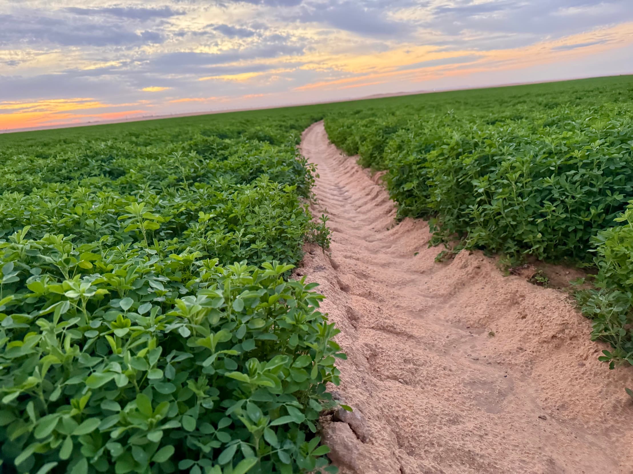
The only water
Drawn from Nubian Sandstone Aquifer Systemas ofNo river reaches this field. The water arrives from underneath it.
There is no surface supply here to divert, share or lose. The single input is the Nubian Sandstone Aquifer System beneath the Western Desert — fossil water, not meaningfully recharging. Wells are drilled and operational.
That is a real constraint and it belongs on the page rather than under it. The farm converts an ancient asset into a present one. The honest position is to say so, not to print the word “sustainable” over a sunset.
Not the river
Drawn from blackfarms.kml · Nile centreline, src/data/egypt.tsas ofEgyptian farmland is a river's floodplain. This is not.
Essentially all cultivated land in Egypt lies in the Nile valley and the delta — a narrow green ribbon and the fan at its mouth, both of them the river's work, both of them irrigated by it. That is the country's agricultural map, and Dakhla is not on it.
The farm shares its latitude with Upper Egypt — it falls between Luxor and Aswan on the frame at the top of this sheet — and stands 354 km west of the channel that made them. The distance is not a detail of the business. It is the business.
Longitude difference at 25.192° N
- Nile channel
- 32.640° E
- Site centroid
- 29.124° E
- Difference
- 3.516°
The Nile longitude is the centreline node at this latitude, from the simplified river drawn on the reference frame. It establishes distance from the river; it is not a survey of the channel.
What is not on this sheet
as ofNot yet published
Four figures a reader would reasonably expect on a page about this place are absent. None of them will be invented to fill the gap.
Aquifer depth · static water level · screened interval
No drilling log is on file. A stratigraphic section drawn without one, in front of anyone who knows the Western Desert, is worse than no section at all.
Well count
The wells are drilled and operating — the owner confirmed that. The count does not reconcile: the brief states one figure, the company’s own accounts name another, and بئر labels the pivot dimension in the same ledger.
Flow rate per well · abstraction
Not recorded in any source available to this site. There is no measured recharge figure for the aquifer either, so none is printed.
Ground elevation
The survey carries a topographic layer, but no elevation figure has been cleared for publication. The terrain plate ships when it does.
Surveyed KML · company chart of accounts · as of